Automatic Photo-to-Terrain Alignment for the Annotation of Mountain Pictures
Degree:
Automatic Photo-to-Terrain Alignment for the Annotation of Mountain Pictures
Course:


Abstract
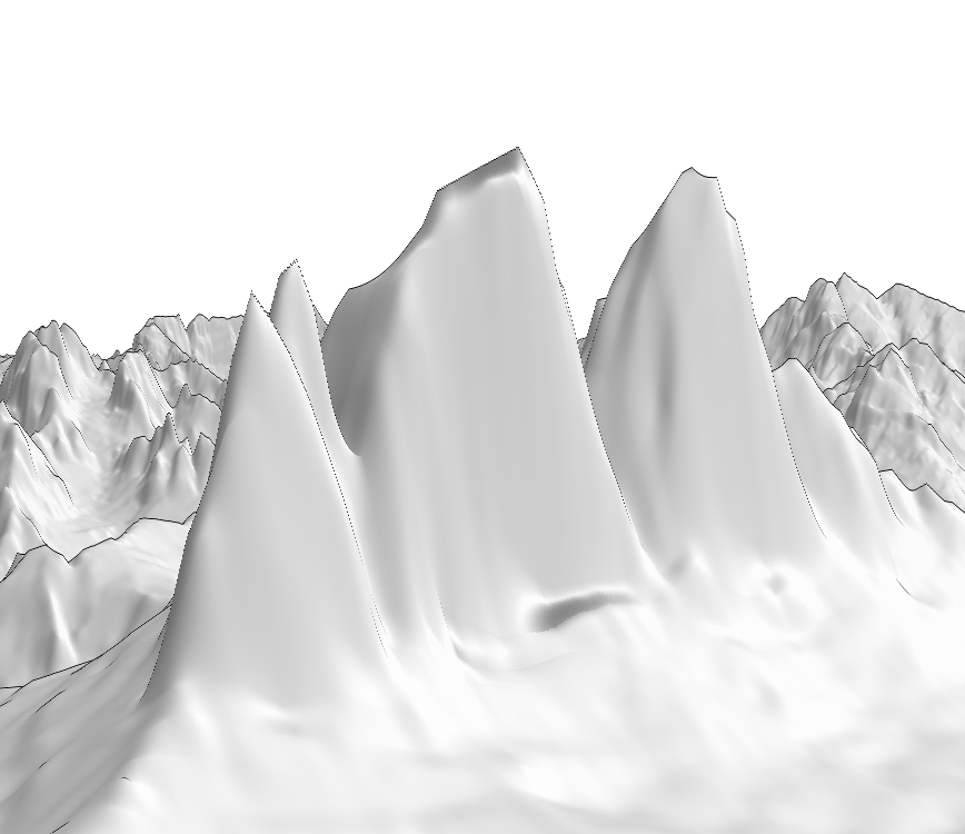
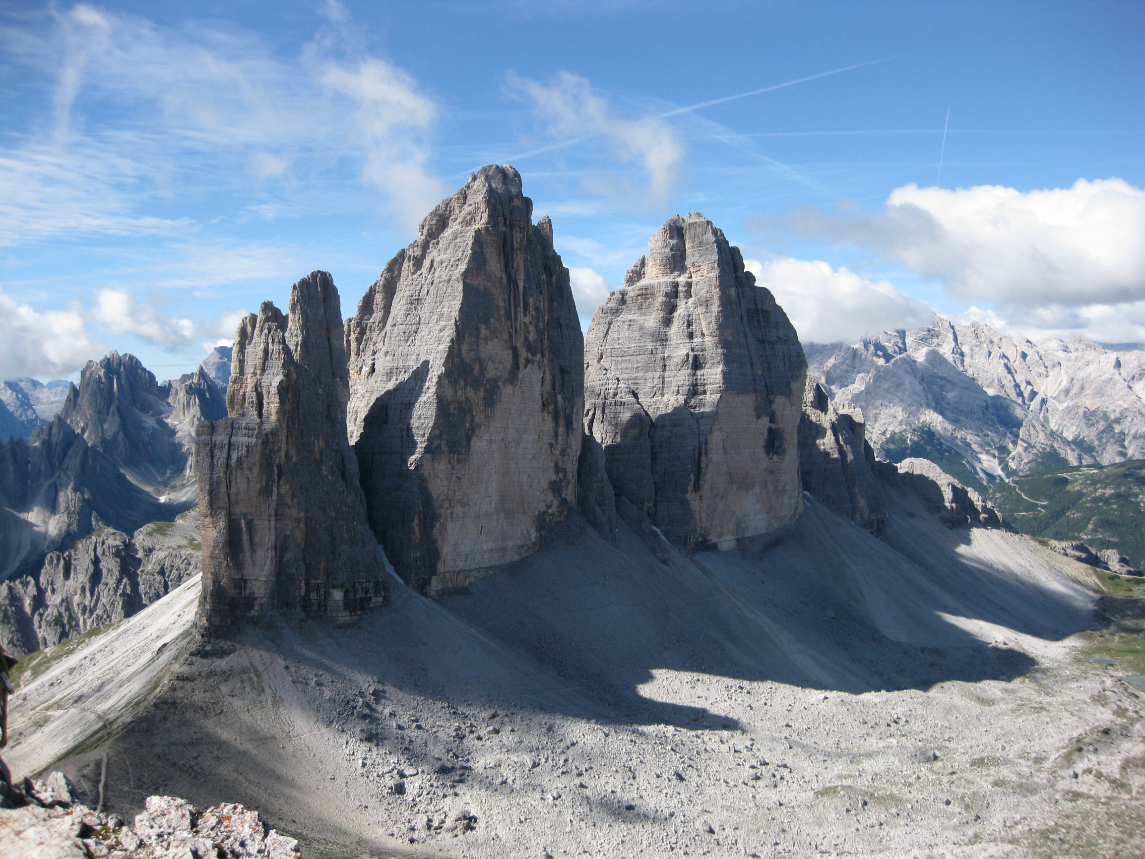
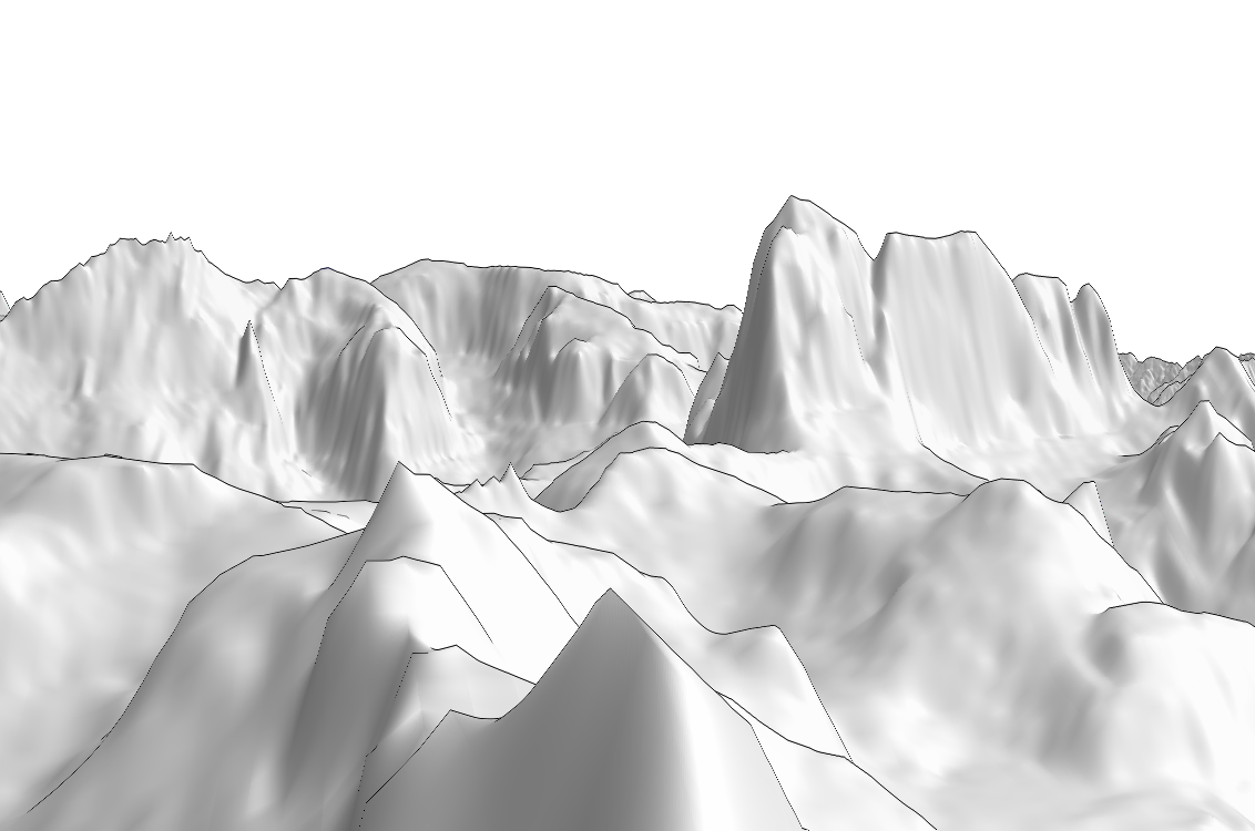
We present a system for the annotation and augmentation of mountain photographs. The key issue resides in the registration of a given photograph with a 3D georeferenced terrain model. Typical outdoor images contain little structural information, particularly mountain scenes whose aspect changes drastically across seasons and varying weather conditions. Existing approaches usually fail on such difficult scenarios. To avoid the burden of manual registration, we propose a novel automatic technique. Given only a viewpoint and FOV estimates, the technique is able to automatically derive the pose of the camera relative to the geometric terrain model. We make use of silhouette edges, which are among most reliable features that can be detected in the targeted situations. Using an edge detection algorithm, our technique then searches for the best match with silhouette edges rendered using the synthetic model. Once registered against the model, photographs can easily be augmented with annotations (e.g. topographic data, peak names, paths), which would otherwise imply a tedious fusion process.
Presentation:
Thesis:
References:
Baboud, L.; Cadik, M.; Eisemann, E.; Seidel, H.-P., "Automatic photo-to-terrain alignment for the annotation of mountain pictures," Computer Vision and Pattern Recognition (CVPR), 2011 IEEE Conference on , vol., no., pp.41,48, 20-25 June 2011
doi: 10.1109/CVPR.2011.5995727
Additional material: